Top Tech Stories
1
Top Story
Google launches Gemini 3.6 Flash with lower token pricing
The release also includes specialized Flash-Lite and Cyber models.
2
AI2's Nathan Lambert releases free post-training book and course
The companion course includes functional LLM training code.

3
Chamath Palihapitiya opposes government protection of frontier AI labs
He argues protecting models ignores the broader infrastructure economy.
4
Simon Willison, Datasette creator, interviews Anthropic's Claude Code team
Newer models like Claude Fable require fewer prompt constraints.
5
Chamath Palihapitiya urges Elon Musk to open-source Grok
He argues this shifts market margins to physical infrastructure.
6
OpenAI's Aidan Clark warns AI focus shifted from safety to sovereignty
GPT-OSS development was delayed to ensure robust safety guardrails.
7
Sebastian Raschka corrects torch.manual_seed typo in reasoning model book
The change allows readers to reproduce LLaMA-3-8B log-probabilities.
8
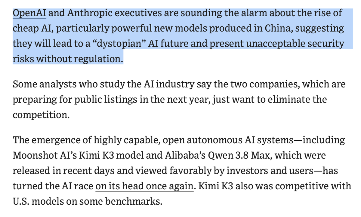
OpenAI and Anthropic warn cheap Chinese models threaten US margins
The White House is split on crackdowns against Chinese AI
9
Alibaba launches Qwen-Image-3.0 with 4.5k-token prompt support
The model renders dense multi-panel layouts from detailed text.

10
Oxford's Jakob Foerster notes reinforcement learning has come full circle
The study optimizes compute splits between pretraining and RL.
11
SST's Dax Raad calls model 5.6 the most usable coding model
He argues poor output reflects user approach, not model limits.
12
BuccoCapital argues VCs will champion open-source distillation rights
Frontier lab dominance threatens early-stage startup investments.
13
Alex Stamos argues US open-source policy fractures venture capital
Treasury Secretary Bessent threatened sanctions against foreign AI models.
14
Pieter Levels reports non-engineers are building apps with Claude Code
Nick Dobos says this opens a massive dev-tool market
15
Sakana AI's UnMaskFork scales masked diffusion models at test time
It uses Monte Carlo Tree Search to switch models.
16
NVIDIA Blackwell Ultra sets world record training DeepSeek-V3
The GB300 platform tripled the throughput of GB200 hardware.
17
Sequoia's Shaun Maguire: Frame Chinese AI ban debates around US interests
Maguire remains neutral on whether to implement the ban.
18
Peter Yang argues AI makes traditional SaaS financially unviable
AI enables companies to build bespoke software instead of subscribing.
19
Shital Shah argues AI will make solo entrepreneurship the default
Shah also predicts space-hardy AI will colonize the universe
20
Gumroad founder Sahil Lavingia targets 300ms support response times
The target includes deploying live bug fixes to production.