Announcement
Google Earth AI reportedly helped map Ebola exposure risks in DR Congo
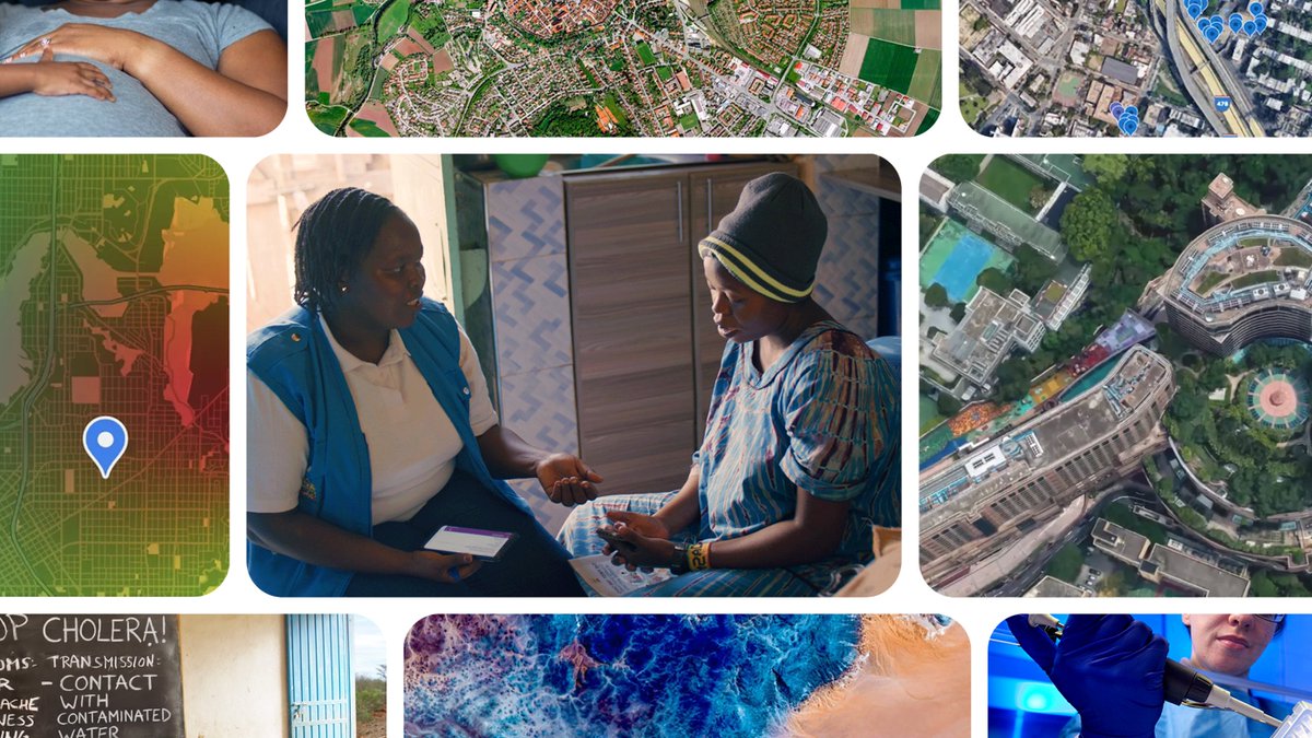
Google says its partners at WHO’s Africa office used a prototype geospatial agent to pinpoint 48 exposed settlements and more than 45,500 at-risk people in minutes.

TLDR
Google says its partners at WHO’s Africa office used a prototype geospatial agent to map Ebola exposure risks in the Democratic Republic of Congo. According to Google, the team identified 48 exposed settlements and more than 45,500 at-risk people in minutes, a task it says would normally take weeks. Google says the system combines satellite views and population patterns to help forecast disease spread.
Combined views
61.3K
4 Sources, first seen ago
151 likes26 comments26 saves21 reposts